|

On eBay Now...
1862 Map| Position of Richmond, Va| 19th Century|Civil War|History|Peninsular Ca For Sale

When you click on links to various merchants on this site and make a purchase, this can result in this site earning a commission. Affiliate programs and affiliations include, but are not limited to, the eBay Partner Network.

1862 Map| Position of Richmond, Va| 19th Century|Civil War|History|Peninsular Ca:
$34.99
Map Size: 20 inches x 24 inches | Fits 20x24 size frame | Frame not included | Archival Quality Reproduction | 1862 Map|Title: Position of Richmond, Va|Subject: 19th Century|Civil War|History|Peninsular Campaign|Richmond|Richmond Va|Virginia|Virginia Peninsula|Virginia Peninsula Va. Summary: Area Map of Richmond showing locations of roads, railroads, waterways, and landforms, as well as outlying Confederate defenses. Also includes notations of Union positions on June 13th and June 20th, 1862, and of Genl. Grant's position June 1st, 1864.Each Map is Hand Printed in our StudioFine Art Matte Paper (230g, 14mil) that maintains vivid colors and faithfulness to the original map.Archival inks guaranteed not to fade for 200+ yearsYour map will be shipped in a protective tube via first class mail
Powered by SixBit's eCommerce Solution
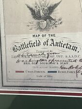
Battle Map Of Antietam September 17, 1862 Historical American Civil War $85.00
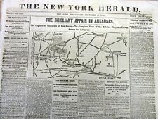
1862 Civil War newspaper MAP Fayetteville ARKANSAS Van Buren PRAIRIE GROVE Battl $40.00
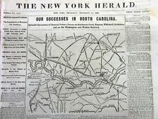
1862 Civil War newspaper w detailed MAP of NORTH CAROLINA Goldsboro to Kinston $40.00

SEVEN DAYS BATTLES MAP Richmond VA Gen. Robert E. Lee 1862 Civil War Newspaper $61.00

Map Set Mapset For THE SIEGE OF HARPER'S FERRY - September 12-15, 1862 $12.95

VICKSBURG MS MISSISSIPPI Civil War MAP & Seven Days Battles 1862 old Newspaper $47.00

1878 CIVIL WAR Map of battle-grounds August 1862 Virginia Court Martial RARE $350.00

1862 Map| Preliminary chart of Hatteras Inlet, North Carolina| Hatteras, Cape|Ha $34.99
|


