|

On eBay Now...
1855 Map | Railway Guide for Illinois | Vintage Illinois Map Reproduction | Vin For Sale

When you click on links to various merchants on this site and make a purchase, this can result in this site earning a commission. Affiliate programs and affiliations include, but are not limited to, the eBay Partner Network.

1855 Map | Railway Guide for Illinois | Vintage Illinois Map Reproduction | Vin:
$34.99
Map size: 18 inches x 24 inches | Ready to frame in standard size frame | Frame not included | Archival quality reproduction 1855 map D.B. Cooke & Co's railway guide for Illinois showing all the stations with their respective distances connecting with Chicago. Outline map showing "R.R. in operation" and "R.R. in Progress."
Powered by SixBit's eCommerce Solution
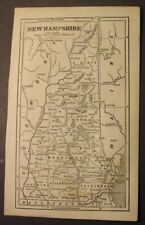
1855 - MAP of NEW HAMPSHIRE - small, black & white $19.95
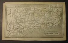
1855 - MAP of CONNECTICUT - small, black & white $19.95
1855 Map of the English Lakes by John Ruthven Railway Map $38.18
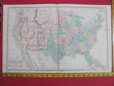
1855 UNITED STATES MAP + NEW ENGLAND STATES + PRINCIPAL CITES SHOWING RAILROADS $49.99
1855 antique written SURVEY art PLATT MAP shenandoah county va DAVID WELLS LAND $145.00
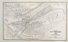
1937 Pennsylvania Railroad PRR Original Map Pittsburgh Train Lines 1855 View RR $27.50

1855 Map of Fryeburg, Maine | Land Ownership | Fryeburg Maine Wall Art | Fryebur $33.99

1855 Map of Broome County, New York | Vintage Broome N.Y. Map | New York Map Rep $34.99
|


