|

On eBay Now...
Vtg Map 1966 Cleveland Ohio Tourguide Map Gulf Co City Old Hwy Map Rough Shape For Sale

When you click on links to various merchants on this site and make a purchase, this can result in this site earning a commission. Affiliate programs and affiliations include, but are not limited to, the eBay Partner Network.

Vtg Map 1966 Cleveland Ohio Tourguide Map Gulf Co City Old Hwy Map Rough Shape:
$19.79
Title:Vtg Map 1966 Cleveland Ohio Tourguide Map Gulf Co City Old Hwy Map Rough Shape
Condition:The front and back cover both have discoloration, imperfections, scuffs, stains, one corner has some tears on the edge. This was an estate find in the garage and has a vintage smell. We did not attempt to clean it for fear of causing damage. It would be nice cleaned up for someone who can restore it. The inside of the map is okay but does have some stains.
Rating:Fair
Size:See photos for style="scroll-behavior: auto !important;">Shipping: we do combine shipping for multiple orders.Note: This item &/or box may contain scuffs, dings, damages, imperfections, and/or defects. Most of our items are used, ungraded, and not in mint condition (even new from store items might not be in mint condition), unless otherwise stated. Terms: Please check each photo thoroughly on the front and back before checking out. If there are any issues with your order (shipping, etc.), please send us a direct message and we will work to resolve the issue. All offers considered | Pet friendly home Sold as is.
Lighting & Photos We use professional photography lighting for all of our listings. There might be slight variations in the color temperature depending on the device you are using or compared to your own lighting.

Vintage 1884 UNITED STATES of AMERICA Map 21"x13" ~ Old Antique Original USA DC $50.36

Vintage 1900 ASTRONOMICAL CHART Map 14"x11" ~ Old Antique Original MOON PHASES $39.56

Vintage Raised Relief Topo Maps $20.00

1907 MAP OF CALIFORNIA FOLDOUT VTG BROCHURE 27”X 22” SOUTHERN PACIFIC RAILROAD $99.95
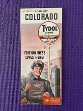
Vintage Tydol Road Map Of Colorado 1954 $8.00
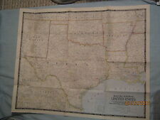
VINTAGE SOUTH CENTRAL UNITED STATES MAP National Geographic December 1947 MINT $1.00
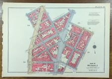
Vintage 1934 GREENWICH VILLAGE MANHATTAN NEW YORK CITY NY ~ GW BROMLEY Land Map $236.88

Philadelphia Electric Company Vintage Illustrated Map 1950 J RIEGEL JR Rare $499.99
|


