|

On eBay Now...
California USGS Topographic Maps 16 Maps Topo 1978-1996 Hiking Camping Geography For Sale

When you click on links to various merchants on this site and make a purchase, this can result in this site earning a commission. Affiliate programs and affiliations include, but are not limited to, the eBay Partner Network.

California USGS Topographic Maps 16 Maps Topo 1978-1996 Hiking Camping Geography:
$99.99
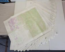
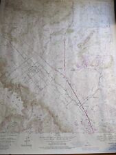
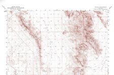
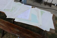
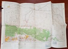
Embark on a journey through California’s diverse landscapes with this detailed collection of 16 USGS topographic maps. Spanning from 1978 to 1996, these maps cover a variety of iconic locations and are perfect for enthusiasts of hiking, camping, and geographical history.
This lot includes maps of the following areas:
- Devore (1988)
- Moonridge (1996)
- Silverwood Lake (1996)
- Telegraph Peak (1988)
- San Bernardino North (1996)
- San Bernardino South (1980)
- Cucamonga Peak (1988)
- English Mountain (1983)
- Bush Creek (1994)
- Cascade (1978)
- Haskins Valley (1994)
- Dogwood Peak (1979)
- Onion Valley (1994)
- Echo Lake (1992)
- Pyramid Peak (1992)
- Cajon (1988)
Usage: These maps serve not only as functional tools for outdoor adventures but also as historical documents that showcase changes in landscapes and mapping techniques over decades.
Please note: Take a close look at the provided photos to assess the condition of each map. Whether adding to a collection, planning your next outdoor adventure, or seeking a unique gift for a geography buff, this collection of topographic maps offers valuable insights and practical use.
California USGS Topographic Maps 16 Maps Topo 1978-1996 Hiking Camping Geography $99.99
USGS Topo Map 7.5' Quad Murrieta, California 33116-F5-TF-024 1981 (revised 1988 $7.95
Tecopa Quadrangle California 1950 Topo Map USGS 15 Minute with Markings $17.95
USGS LOT OF 10 CALIFORNIA QUADRANGLE TOPOGRAPHIC MAPS 7.5MIN 22X27 $50.00
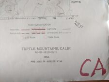
USGS Topo Map 7.5' Turtle Mountains, CALIFORNIA N3415-W11445 (1954) $7.95
USGS CHROMITE in the UNITED STATES - HUGE MAP with ARTICLE, 1965 MANY LOCATIONS $10.00
USGS LOT OF 50 CALIFORNIA / NEVADA QUADRANGLE TOPOGRAPHIC MAPS 7.5MIN 22X27 $150.00
Geological Map of San Bernardino County California USGS 1966? $28.00
|


